Know the ground
before the ground knows you.
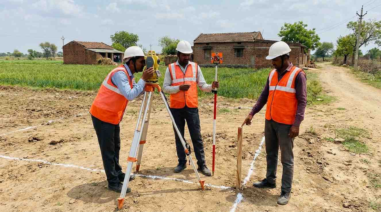
Kamala Infra runs boundary, contour, and topographic surveys across Hyderabad and Telangana — for plot verification and partitions, for earthwork and drainage design, and for the base document that architects and engineers work off. Each survey is executed with total stations or drone-based mapping, delivered in AutoCAD / GIS-ready formats, and cross-verified against revenue records where relevant.
Boundary Survey & Partitions
A boundary survey precisely identifies and legally marks the outer limits of your plot using coordinates, monuments, and government land records. It is the most fundamental survey required before any construction, registration, or legal transaction involving land. For jointly owned or inherited properties, we also perform partition surveys that divide the land equitably and produce legally admissible documents accepted by revenue authorities across Telangana.
Request This Survey- Legal demarcation of plot corners and boundary lines
- Cross-verification with revenue records and pattadar passbooks
- Identification and resolution of encroachments
- Partition of joint / inherited land with documented share divisions
- Certified boundary maps for registration and building permits
Contour Surveying
Contour surveying measures and maps the elevation changes across your land, producing a detailed contour plan that shows how the ground rises and falls. This data is critical for civil engineers and architects to design proper drainage systems, plan earthwork and grading, and understand natural water flow patterns — preventing waterlogging, soil erosion, and structural damage before a single brick is laid.
Request This Survey- Precise elevation measurement across the entire plot
- Contour interval mapping at 0.5 m or 1 m intervals
- Identification of natural drainage channels and low points
- Cut-and-fill analysis for earthwork volume estimation
- Foundation depth recommendations based on terrain
- Input data for storm water management and STP design
Topographic (Topo) Surveying
A topographic survey captures both the natural and man-made features of a site in a single comprehensive plan — elevations, existing structures, trees, utility lines, roads, and drainage features. Architects, structural engineers, and urban planners rely on topo surveys as the base document for all design work. It is mandatory for large-scale residential layouts, commercial complexes, and industrial projects requiring planning-authority approval.
Request This Survey- 3D mapping of natural features — slopes, ridges, water bodies
- Location of existing structures, walls, and overhead utilities
- Tree survey with species, girth, and canopy spread
- Underground utility mapping (drainage, water, electrical)
- AutoCAD / GIS-compatible output for direct design use
- Mandatory base map for layout approval submissions
Need a land survey
in Hyderabad?
Share your plot details and we'll quote the right combination of surveys for your project stage.
Get a Free Consultation