
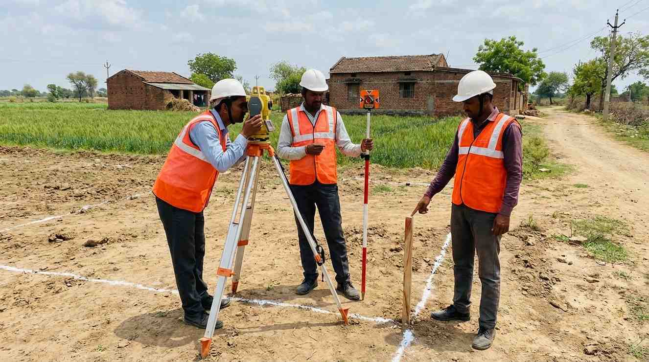
A boundary survey precisely identifies and legally marks the outer limits of your plot using coordinates, monuments, and government land records. It is the most fundamental survey required before any construction, registration, or legal transaction involving land. For jointly owned or inherited properties, we also perform partition surveys that divide the land equitably and produce legally admissible documents.

Contour surveying measures and maps the elevation changes across your land, producing a detailed contour plan that shows how the ground rises and falls. This data is critical for civil engineers and architects to design proper drainage systems, plan earthwork and grading, and understand natural water flow patterns — preventing waterlogging, soil erosion, and structural damage before a single brick is laid.
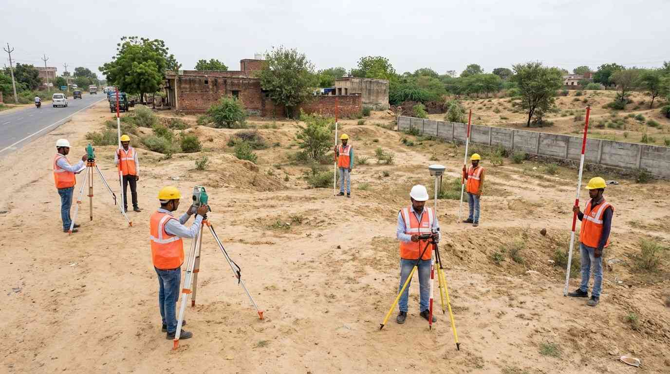
A topographic survey captures both the natural and man-made features of a site in a single comprehensive plan. It records elevations, existing structures, trees, utility lines, roads, and drainage features. Architects, structural engineers, and urban planners rely on topo surveys as the base document for all design work. It is mandatory for large-scale residential layouts, commercial complexes, and industrial projects requiring planning authority approval.
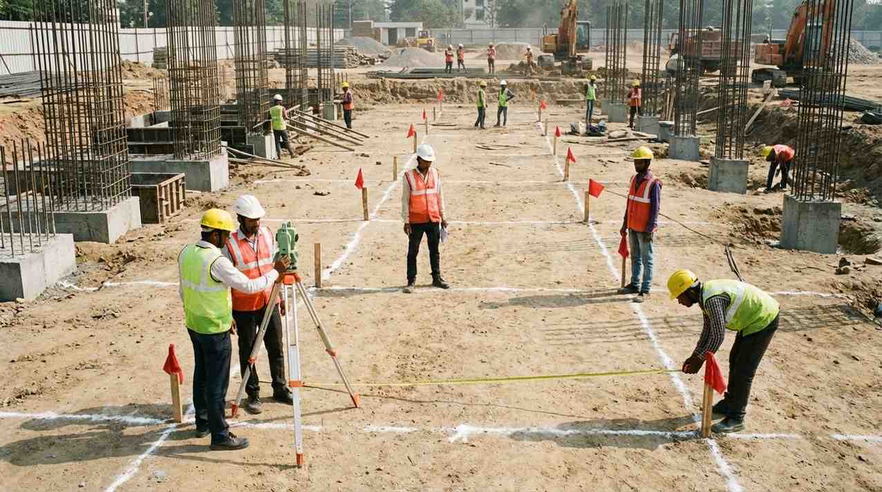
Column marking is the process of physically transferring the exact column grid from your approved structural drawings onto the actual ground using total stations and precise reference benchmarks. Every column position is marked with a peg or paint marking before excavation begins. Even a small error at this stage — a few centimetres off — can cascade into major structural misalignments that are expensive and sometimes impossible to correct after concrete is poured.

Layout planning translates the dimensions from your approved architectural drawings directly onto the ground. Our surveyors mark the exact positions of external walls, internal partitions, setback lines, open spaces, and access roads before any construction activity begins. This on-ground layout is the final verification that your proposed structure fits the plot correctly, respects setback regulations, and matches the sanctioned plan — eliminating costly rework and legal complications later.
Not Sure Which Survey
You Need?
Get in touch and our expert team will assess your land and recommend the right surveys for your project.